
“Not all those who wander are lost.” – J.R.R. Tolkien
Going somewhere? Google maps can’t always get you to where you need to go so try these books about maps and never get lost. Uncover the hidden tales of our planet’s past, present, and future. Curated by Katie Rivers Ocmond
Looking for digital? Check for eBooks and eAudiobooks here.
cloudLibrary | Libby | Freading
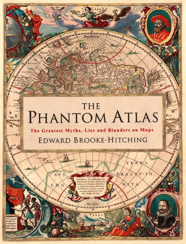
The Phantom Atlas by Edward Brooke-Hitching
The Phantom Atlas is an atlas of the world not as it ever existed, but as it was thought to be. These marvelous and mysterious phantoms – non-existent islands, invented mountain ranges, mythical civilizations and other fictitious geography – were all at various times presented as facts on maps and atlases. This book is a collection of striking antique maps that display the most erroneous cartography, with each illustration accompanied by the story behind it.
Exploration, map-making and mythology are all brought together to create a colorful tapestry of monsters, heroes, and volcanoes; swindlers, mirages and murderers. Sometimes the stories are almost impossible to believe, and remarkably, some of the errors were still on display in maps published in the 21st century. Throughout much of the 19th century more than 40 different mapmakers included the Mountains of Kong, a huge range of peaks stretching across the entire continent of Africa, in their maps – but it was only in 1889 when Louis Gustave Binger revealed the whole thing to be a fake. For centuries, explorers who headed to Patagonia returned with tales of the giants they had met who lived there, some nine feet tall. Then there was Gregor MacGregor, a Scottish explorer who returned to London to sell shares in a land he had discovered in South America. He had been appointed the Cazique of Poyais and bestowed with many honors by the local king of this unspoiled paradise. Now he was offering others the chance to join him and make their fortune there, too – once they had paid him a bargain fee for their passage…
The Phantom Atlas is a beautifully produced volume, packed with stunning maps and drawings of places and people that never existed. The remarkable stories behind them all are brilliantly told by Edward Brooke-Hitching in a book that will appeal to cartophiles everywhere.

Cartogrpahia : Mapping Civilizations by Vincent Virga
CARTOGRAPHIA offers a stunning array of 200 of the most beautiful, important, and fascinating maps in existence, from the world’s largest cartographic collection, at the Library of Congress. These maps show how our idea of the world has shifted and grown over time, and each map tells its own unique story about nations, politics, and ambitions. The chosen images, with their accompanying stories, introduce the reader to an exciting new way of “reading” maps as travelogues—living history from the earliest of man’s imaginings about planet earth to our current attempts at charting cyberspace.
Among the rare gems included in the book are the Waldseemuller Map of the World from 1507, the first to include the designation “America”; pages from the Ortelius’s Theatrum Orbis Terrarum of 1570, considered the first modern atlas; rare maps from Africa, Asia, and Oceania that challenge traditional Western perspectives; William Faulkner’s hand-drawn 1936 map of the fictional Yoknapatawpha County, Mississippi; and even a map of the Human Genome. In an oversized format, with gorgeous four-color reproductions throughout, Catrographia will appeal to collectors, historians, and anyone looking for a perfect gift.
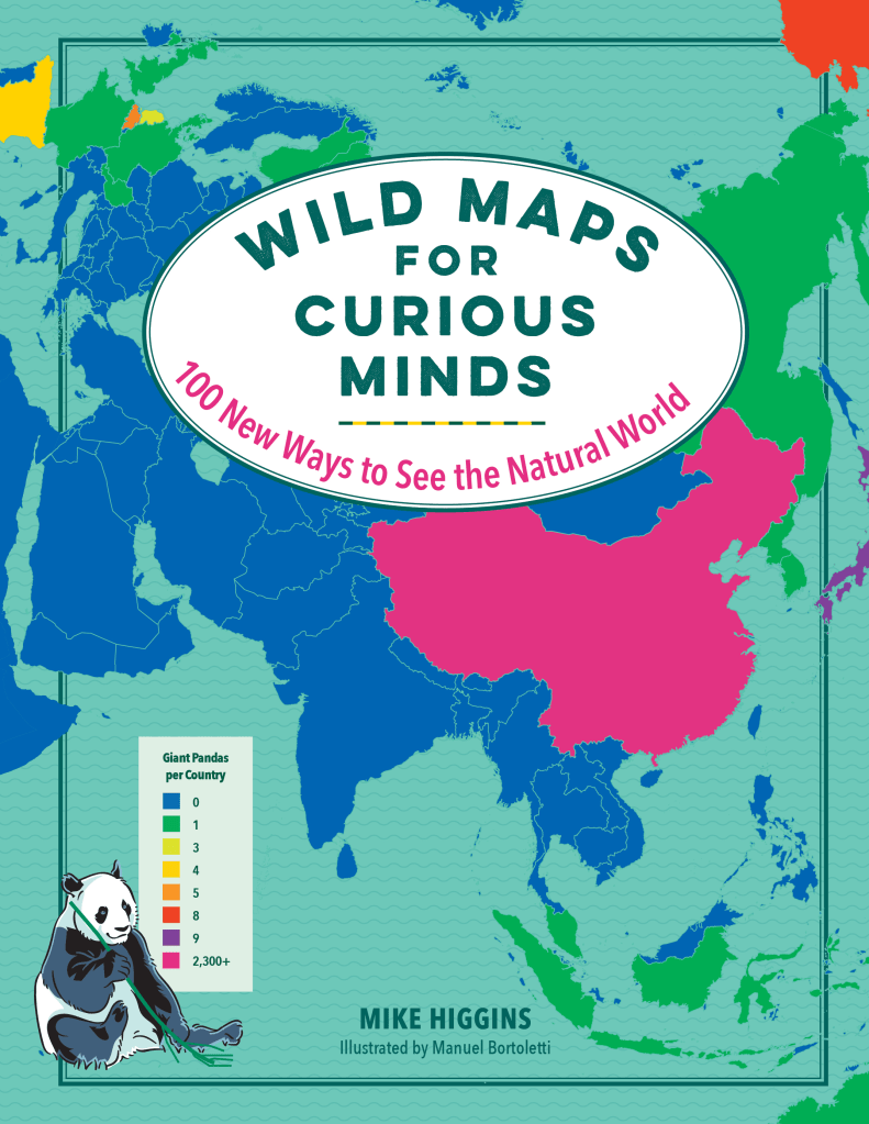
Wild Maps for Curious Minds by Michael Higgins
The natural world has never been wilder—with 100 fiercely fun, curiously captivating, and amazingly adventurous maps.
Which nations have launched animals into space? Where are the world’s cat people? How many humans live in high-risk zones for natural disasters? How far do you have to travel to hug all fifteen of the world’s oldest trees? Where in the world do snakes live—or better yet, where can you avoid them?! Find the thought-provoking answers to these questions and many more in Wild Maps for Curious Minds. This info-graphic atlas of nature’s most impressive wonders and eye-popping oddities is bursting with discovery, whimsical insight, and startling revelations that will change the way you see the natural world.
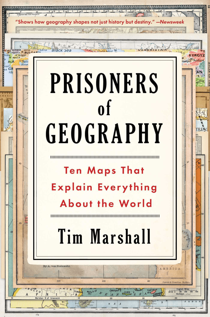
Prisoners of Geography : Ten Maps That Explain Everything About the World by Tim Marshall
In the bestselling tradition of Why Nations Fail and The Revenge of Geography, an award-winning journalist uses ten maps of crucial regions to explain the geo-political strategies of the world powers.
All leaders of nations are constrained by geography. Their choices are limited by mountains, rivers, seas, and concrete. To understand world events, news organizations and other authorities often focus on people, ideas, and political movements, but without geography, we never have the full picture. Now, in the relevant and timely Prisoners of Geography, seasoned journalist Tim Marshall examines Russia, China, the USA, Latin America, the Middle East, Africa, Europe, Japan and Korea, and Greenland and the Arctic—their weather, seas, mountains, rivers, deserts, and borders—to provide a context often missing from our political reportage: how the physical characteristics of these countries affect their strengths and vulnerabilities and the decisions made by their leaders.
In ten, up-to-date maps of each region, Marshall explains in clear and engaging prose the complex geo-political strategies of these key parts of the globe. What does it mean that Russia must have a navy, but also has frozen ports six months a year? How does this affect Putin’s treatment of Ukraine? How is China’s future constrained by its geography? Why will Europe never be united? Why will America never be invaded? Shining a light on the unavoidable physical realities that shape all our aspirations and endeavors, Prisoners of Geography is the critical guide to one of the major (and most often overlooked) determining factors in world history.
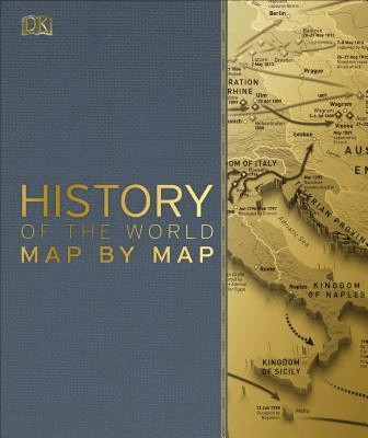
History of the World Map by Map
Explore the history of the world in unprecedented detail with this ultimate guide to history throughout the ages.
Maps don’t just show us where to go, but also where we’ve been. If you’re interested in finding out more about the biggest events in world history, then this book, all about the history of the world is perfect for you!
This stunning history book starts with the evolution and migration of our oldest ancestors out of Africa. You can then look up maps about the Greece and Persian War, the Mongol Conquests, Medieval Europe’s trade routes, and the rise of the Ottomans. Explore maps about the colonization of North America, the scientific revolution, Napoleon’s advances, and Britain’s control of India. Then uncover the history of later centuries, such as the Age of Imperialism, the American Civil War, industrialized Europe and the transformation of Japan.
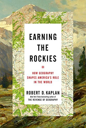
Earning the Rockies : How Geography Shapes America’s Role in the World by Robert D. Kaplan
An incisive portrait of the American landscape that shows how geography continues to determine America’s role in the world–from the bestselling author of The Revenge of Geography and Balkan Ghosts
As a boy, Robert D. Kaplan listened to his truck-driver father tell evocative stories about traveling across America in his youth, travels in which he learned to understand the country literally from the ground up. There was a specific phrase from Kaplan’s childhood that captured this perspective: A westward traveler must “earn the Rockies” by driving–not flying–across the flat Midwest and Great Plains.
In Earning the Rockies, Kaplan undertakes his own cross-country journey to recapture an appreciation of American geography often lost in the jet age. Traveling west, in the same direction as the pioneers, Kaplan traverses a rich and varied landscape that remains the primary source of American power. Along the way, he witnesses both prosperity and decline–increasingly cosmopolitan cities that thrive on globalization, impoverished towns denuded by the loss of manufacturing–and paints a bracingly clear picture of America today.
The history of westward expansion is examined here in a new light–as a story not just of genocide and individualism, but also of communalism and a respect for the limits of a water-starved terrain, a frontier experience that bent our national character toward pragmatism. Kaplan shows how the great midcentury works of geography and geopolitics by Bernard DeVoto, Walter Prescott Webb, and Wallace Stegner are more relevant today than ever before. Concluding his journey at Naval Base San Diego, Kaplan looks out across the Pacific Ocean to the next frontier: China, India, and the emerging nations of Asia. And in the final chapter, he provides a gripping description of an anarchic world and explains why America’s foreign policy response ought to be rooted in its own geographical situation.
In this short, intense meditation on the American landscape, Robert D. Kaplan reminds us of an overlooked source of American strength: the fact that we are a nation, empire, and continent all at once. Earning the Rockies is an urgent reminder of how a nation’s geography still foreshadows its future, and how we must reexamine our own landscape in order to confront the challenges that lie before us.

Rivers & the Power of Ancient Rome by Brian Campbell
Figuring in myth, religion, law, the military, commerce, and transportation, rivers were at the heart of Rome’s increasing exploitation of the environment of the Mediterranean world. In Rivers and the Power of Ancient Rome, Brian Campbell explores the role and influence of rivers and their surrounding landscape on the society and culture of the Roman Empire.
Examining artistic representations of rivers, related architecture, and the work of ancient geographers and topographers, as well as writers who describe rivers, Campbell reveals how Romans defined the geographical areas they conquered and how geography and natural surroundings related to their society and activities. In addition, he illuminates the prominence and value of rivers in the control and expansion of the Roman Empire–through the legal regulation of riverine activities, the exploitation of rivers in military tactics, and the use of rivers as routes of communication and movement. Campbell shows how a technological understanding of–and even mastery over–the forces of the river helped Rome rise to its central place in the ancient world.

Vanished Kingdoms : The Rise and Fall of States and Nations by Norman Davies
An evocative account of fourteen European kingdoms-their rise, maturity, and eventual disappearance.
There is something profoundly romantic about lost civilizations. Europe’s past is littered with states and kingdoms, large and small, that are scarcely remembered today, and while their names may be unfamiliar-Aragon, Etruria, the Kingdom of the Two Burgundies-their stories should change our mental map of the past. We come across forgotten characters and famous ones-King Arthur and Macbeth, Napoleon, and Queen Victoria, right up to Stalin and Gorbachev-and discover how faulty memory can be, and how much we can glean from these lost empires. Davies peers through the cracks in the mainstream accounts of modern-day states to dazzle us with extraordinary stories of barely remembered pasts, and of the traces they left behind.
This is Norman Davies at his best: sweeping narrative history packed with unexpected insights. Vanished Kingdoms will appeal to all fans of unconventional and thought-provoking history, from readers of Niall Ferguson to Jared Diamond.
